
The Free Federal Tool That Can Tell You When Early-Season Warmwater Fish Are Ready
 February 10, 2026
  0 Comments
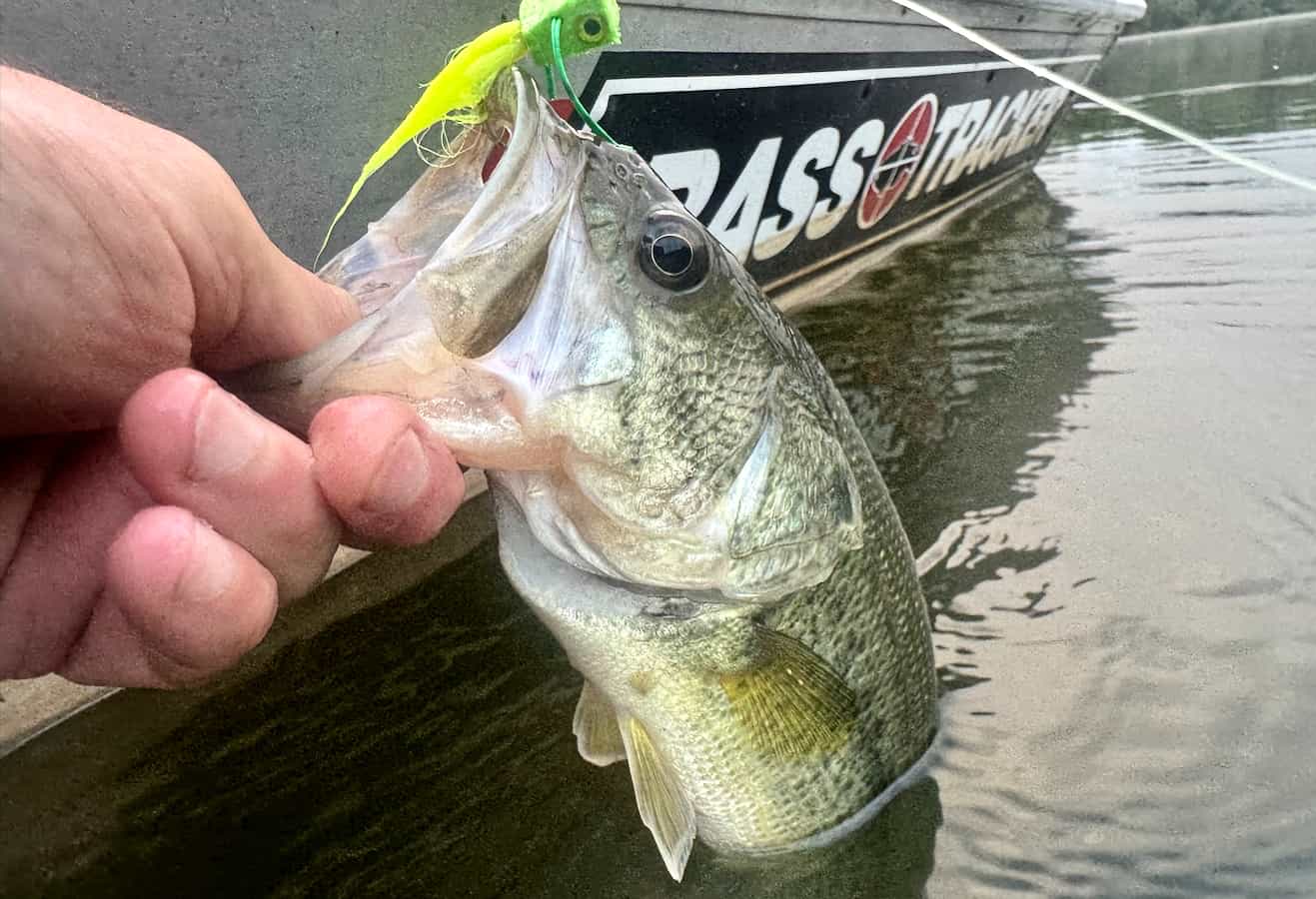
Every spring, the same question nags warmwater fly anglers from Oklahoma to Ohio: Is it happening yet? Are the largemouth moving shallow? Have the pike pushed into the backwaters? Is it worth burning a vacation day, or will you spend six hours casting into dead water?
Most of us answer these questions the old-fashioned way—scrolling through forum posts, texting fishing buddies, or simply driving to the water and hoping. But there’s a better approach, and it’s been hiding in plain sight: the United States Geological Survey’s network of more than 12,000 streamgages, which tracks river conditions in near real time across the country.
Streamflow is the most common measurement in the network, but many sites also record water temperature. Together, those two variables—temperature trend and discharge stability—are the closest thing a warmwater fly angler can get to a crystal ball in February and March. A single warm afternoon means very little to a largemouth bass; what matters is whether a warming trend held overnight or collapsed after sunset, and whether the river has settled enough for fish to hold in the shallows. USGS hydrographs show you both.
The approach works regardless of latitude. In the Deep South, largemouth bass can begin prespawn movement as early as January, and by mid-February anglers in states like Georgia, Alabama, Oklahoma, and Texas may already be behind the curve. The Oklahoma Department of Wildlife Conservation identifies February and March as the prespawn months for largemouth in that state—the window when the biggest bass of the year are most catchable. Farther north, smallmouth anglers and pike chasers in the Midwest are watching for different thresholds on a later calendar—but reading the same gages in the same way.
We’ve put together a full guide that walks through the system step by step: how to pick the right gages for your water, what graph shapes to watch for, which temperature thresholds trigger prespawn activity for different species and regions, how to set up automated alerts so you never miss the first window, and how to pair all of it with mapping tools that solve the access problem. Whether you’re watching a gage on the Chattahoochee in February or the Grand River in April, learning to read this data may be the best investment you make this season.